



MANUMBO was founded at the end of 2025 from the corporate spin-off of Ecometer S.n.c. di Aosta, independently continuing a well-established path in the development of software solutions for environmental monitoring and territorial data management.
The new company focuses on developing digital systems dedicated to the environment and the land, maintaining continuity with its previous experience while operating as an independent, specialised organisation.
We develop software systems for environmental monitoring and territorial data management with an approach focused on integration and the operational use of information. The solutions we build connect sensors, monitoring stations, APIs and field surveys into a continuous data flow, designed to guarantee consistency, reliability and real-time availability.
The goal is to turn complex, distributed data into structured, readable systems capable of supporting concrete decision-making processes and day-to-day technical work. Every project stems from the real operational context and constraints of the environment, with close attention to data stability and its interpretation over time.
Collection and integration of environmental information from heterogeneous sources.
Validation, quality control and organisation of data flows.
Processing of historical, real-time data and forecasting models.
Interactive maps, dashboards and operational consultation tools.

We develop browser-accessible cloud software platforms, designed to collect, integrate and operationalise complex environmental and territorial data.
The systems handle heterogeneous flows from sensors, monitoring stations, APIs, forecasting models and field activities, unifying them in a single environment for consultation and analysis.
The map is the central element of the experience: data is geolocated, displayed in real time and enriched with information layers that allow a complete reading of the territory.
The system integrates tools for data validation and quality control, managing anomalies, corrections and the completion of historical series through configurable rules.
Analysis takes place on multiple levels, with the ability to define operational thresholds, pre-alarms and alarms, turning collected information into direct decision-making support.
All data can be viewed in graphical or tabular form, filtered by time range and easily exported for external use.
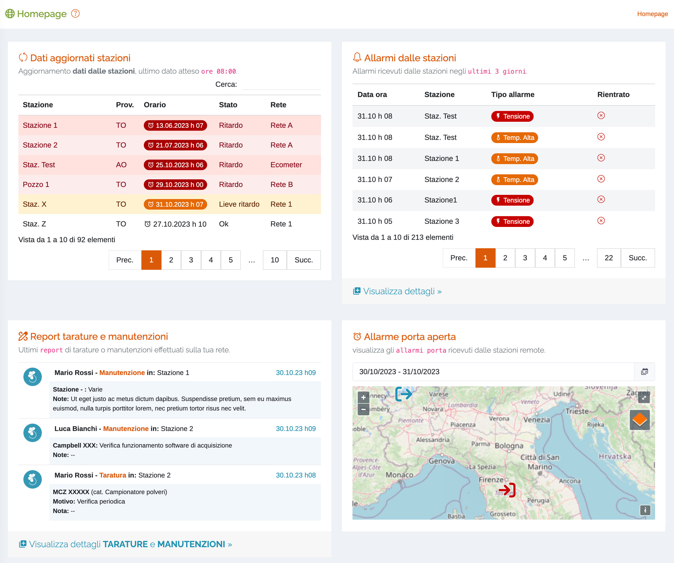 Dashboard with customisable widgets
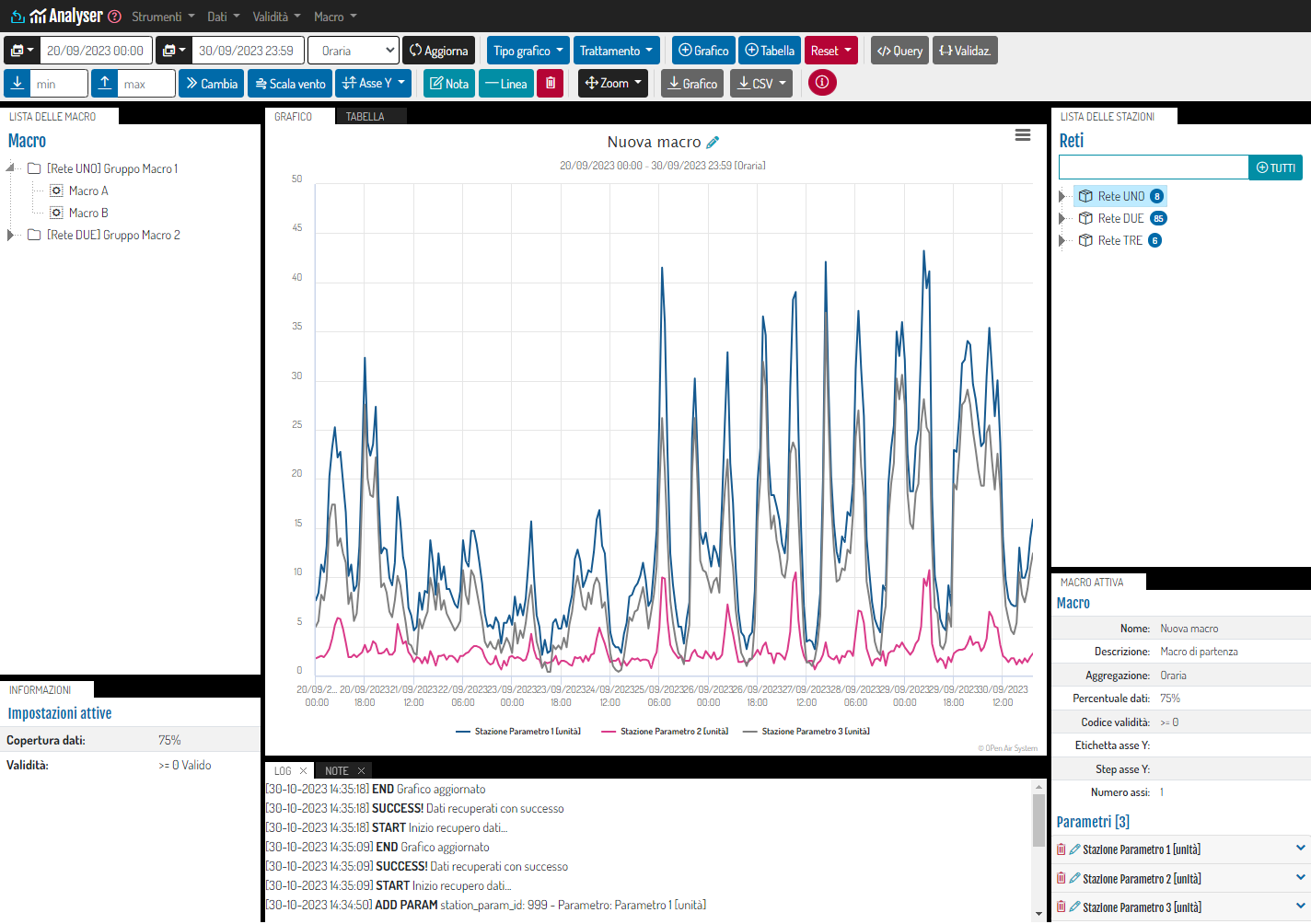 Data analysis and comparison
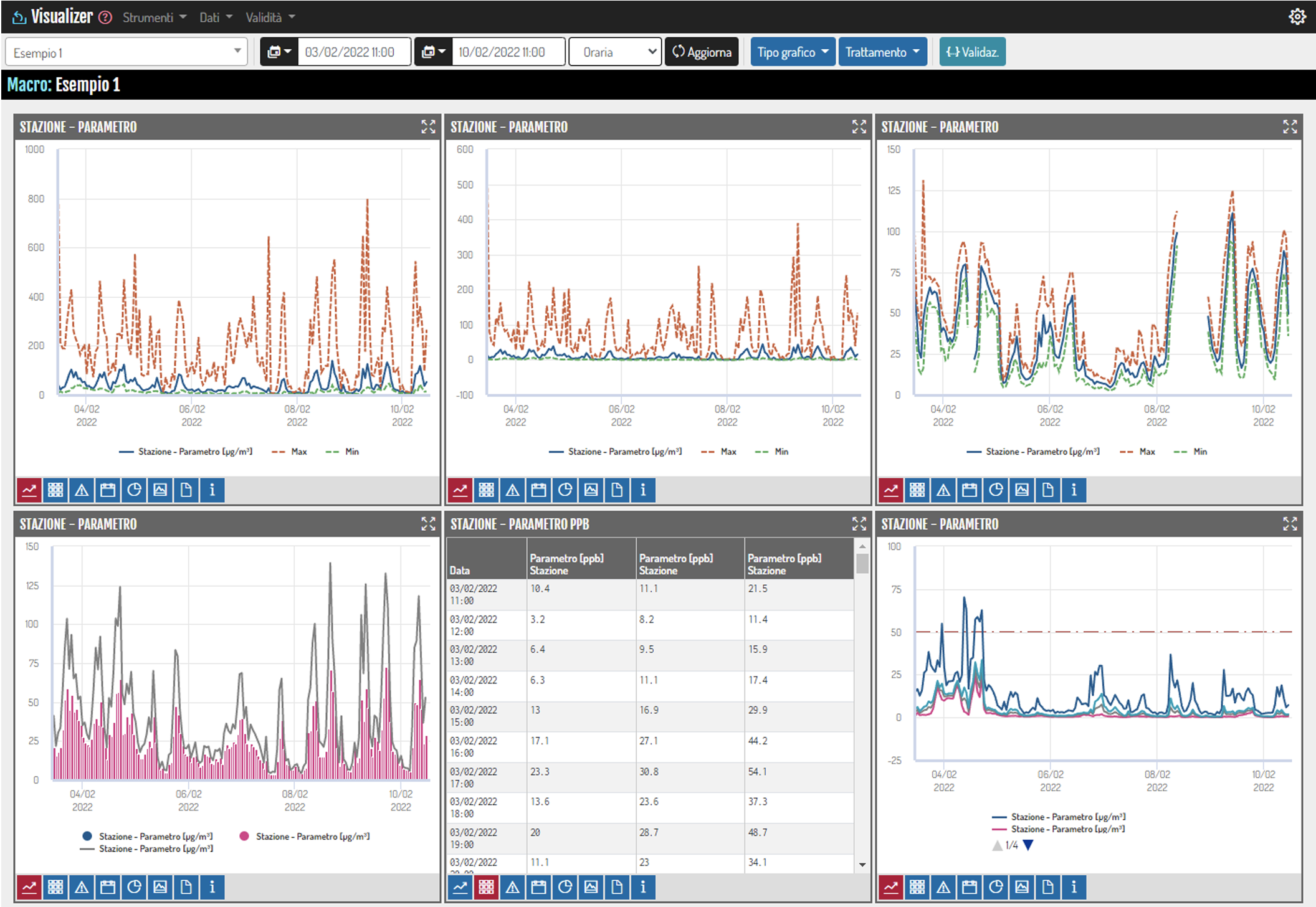 Network parameter monitoring
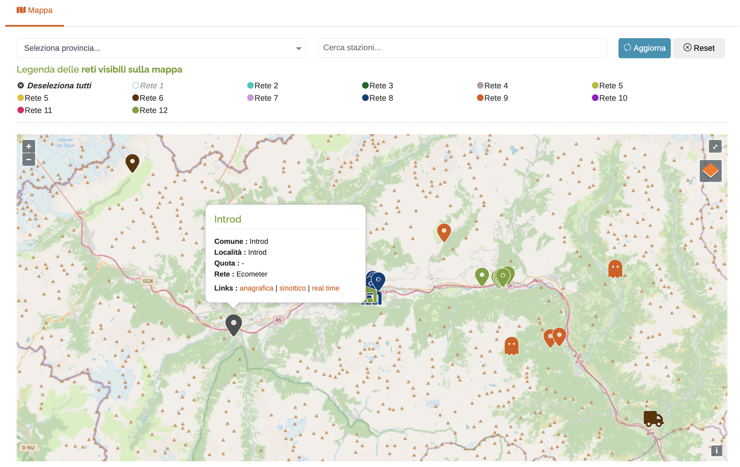 Map of georeferenced stations
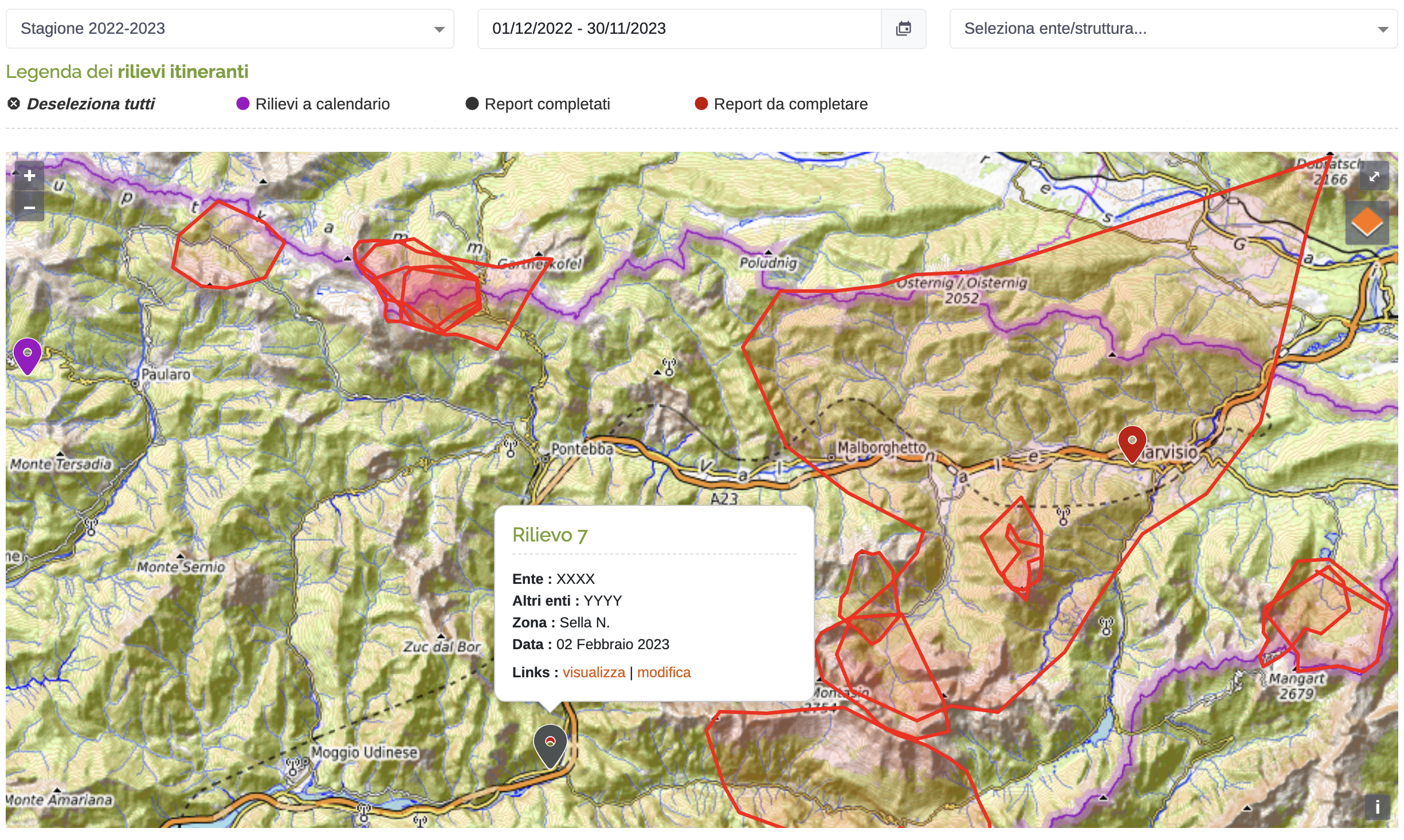 Management of field surveys
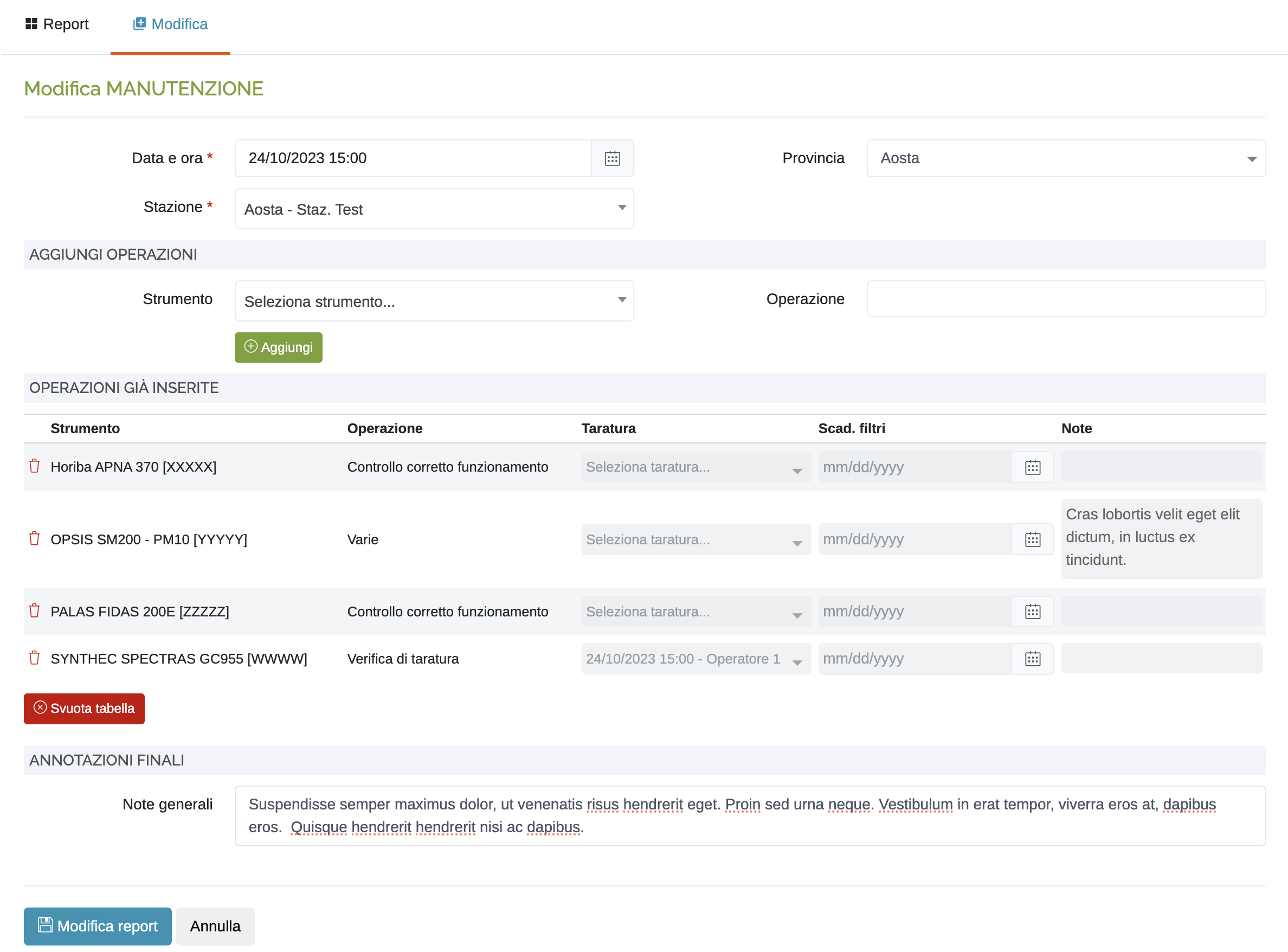 Management of maintenance operations
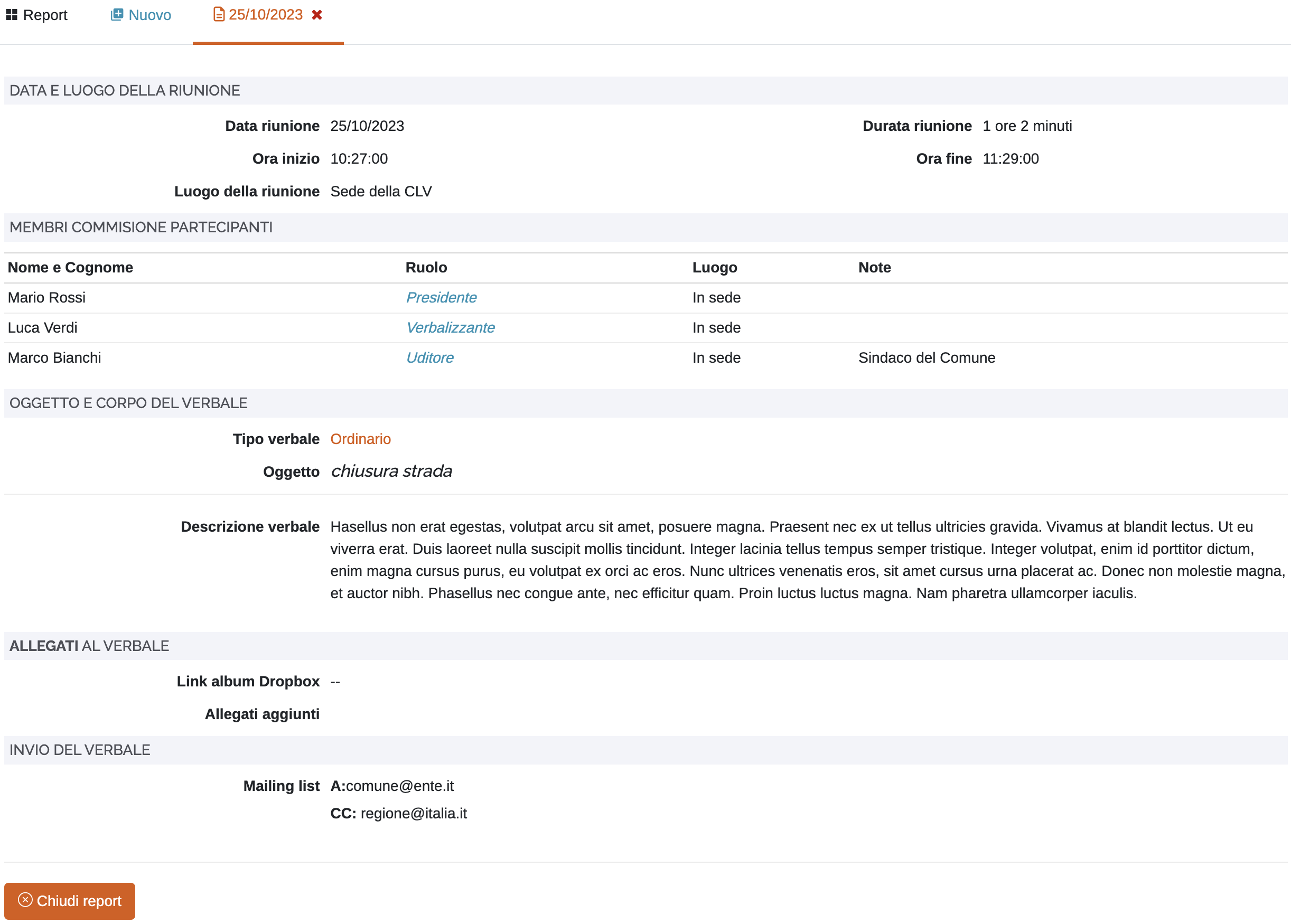 Management of meeting minutes
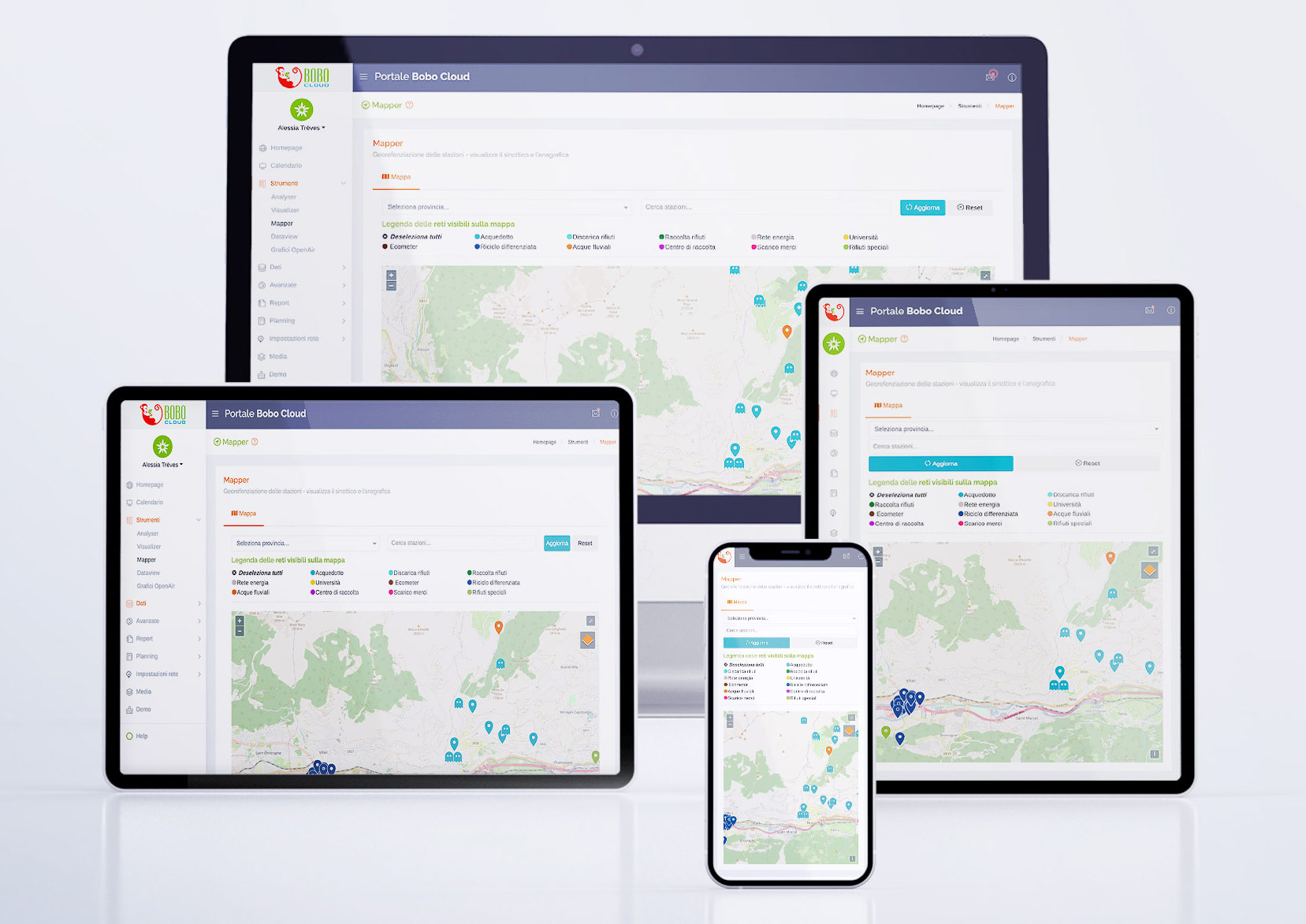
Bobo is a SaaS platform developed by Manumbo, fully accessible via browser and designed as a turnkey solution for environmental data management. It centralises information from different territorial contexts and makes it immediately available through real-time analysis and monitoring tools.
The system enables map-based visualisation of geospatial data, the integration of measured and forecast information, and complete management of the data lifecycle — from collection to validation to consultation.
The interface enables advanced time-based analysis through dynamic selectors and operational dashboards, with the ability to export data in the main technical formats. Bobo Cloud is a ready-to-use operational platform for organisations and operators who need continuous control over the land.

Our solutions manage heterogeneous environmental and territorial data from different sources, organised by operational domains. Each category represents a level of understanding of the land, useful for monitoring, analysing and managing environmental conditions.
Monitoring of air emissions and greenhouse gases, with analysis and reporting of values recorded over time.
Collection of real-time weather data and integration with forecasting models for environment analysis.
Acquisition and management of key hydrological data, such as levels, flow rates and precipitation.
Monitoring of avalanche events and risk indicators through historical and real-time data.
Monitoring of wildfires and urban fires with continuous location tracking and updates across the territory.
Control of hydraulic parameters and operational management of water supply infrastructure.
Detection and analysis of hydrogeological instability phenomena and soil instability conditions.
Management of sampling, analysis and monitoring of surface and groundwater.
Collection and updating of data directly from the field via apps and mobile devices.

If you need more information about the systems developed by Manumbo, or would like to explore possible integrations and operational contexts, you can contact us via the form or using the details below.
We are available for technical requests, collaborations and new projects related to environmental monitoring and territorial data management.
Use our digital tools, built for operational activities and environmental monitoring.

Manumbo S.r.l. Unipersonale — we are at your disposal
